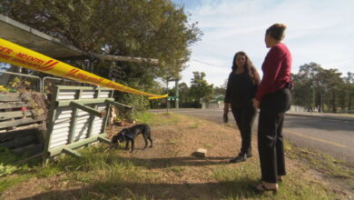
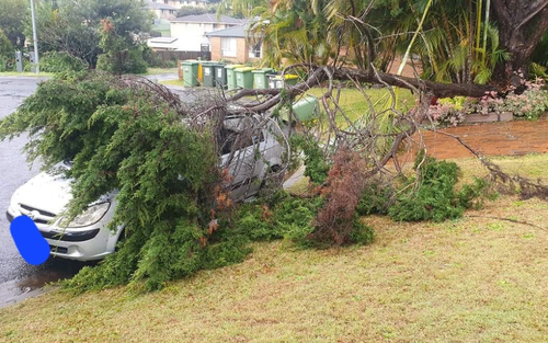
Fallen trees, flooded roads: More heavy rain to lash northern NSW
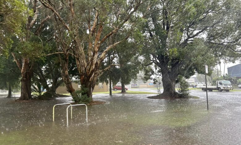
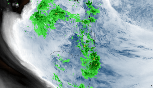
A weather system moving down the coast from Queensland has brought unseasonably heavy rain to flood-prone parts of northern NSW.
The Bureau of Meteorology has forecast another 100 millimetres of widespread rainfall this evening and into tomorrow between the Tweed Coast and Coffs Harbour, including the Northern Rivers.
The deluge is expected to increase the risk of flash flooding and river level rises with flood warnings in place at Tweed, Brunswick, Richmond, Wilsons, Orara and Bellinger Rivers.
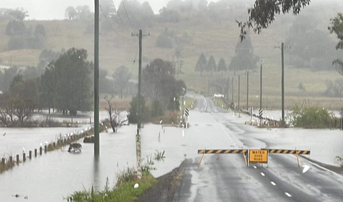
Around 200mm of rainfall drenched the NSW coast last night, prompting more than 163 calls made to the SES for fallen trees and leaky roofs.
The SES said crews were well prepared for further downpours in high-risk areas but urged people to avoid entering floodwater.
“We’re closely monitoring the weather and are prepared to respond swiftly to any emergencies that may arise,” Acting Chief Superintendent Kristine McDonald said.
“With catchments already wet and soil moisture high from rainfall earlier this week, several roads are already inundated by floodwaters so people should avoid unnecessary travel in the rain.
“Flash flooding can occur rapidly and without warning, posing a risk to life and property, and we are reminding people to never drive, walk or play in floodwaters.”
The wet conditions are being caused by a deep layer of moisture fed by east-north-easterly winds interacting with a pair of upper-level low pressure systems, according to Weatherzone.
In the last 48-hours Ballina in Byron Bay saw 211.6 mm of rainfall – well above the August average of 85.7 mm.
The heaviest downpour was recorded at Tuckombil near Lismore which saw 104mm dumped in the 24-hours to 9am today.
Sydney is expected to see 2 to 25 mm of rain today and tomorrow.


