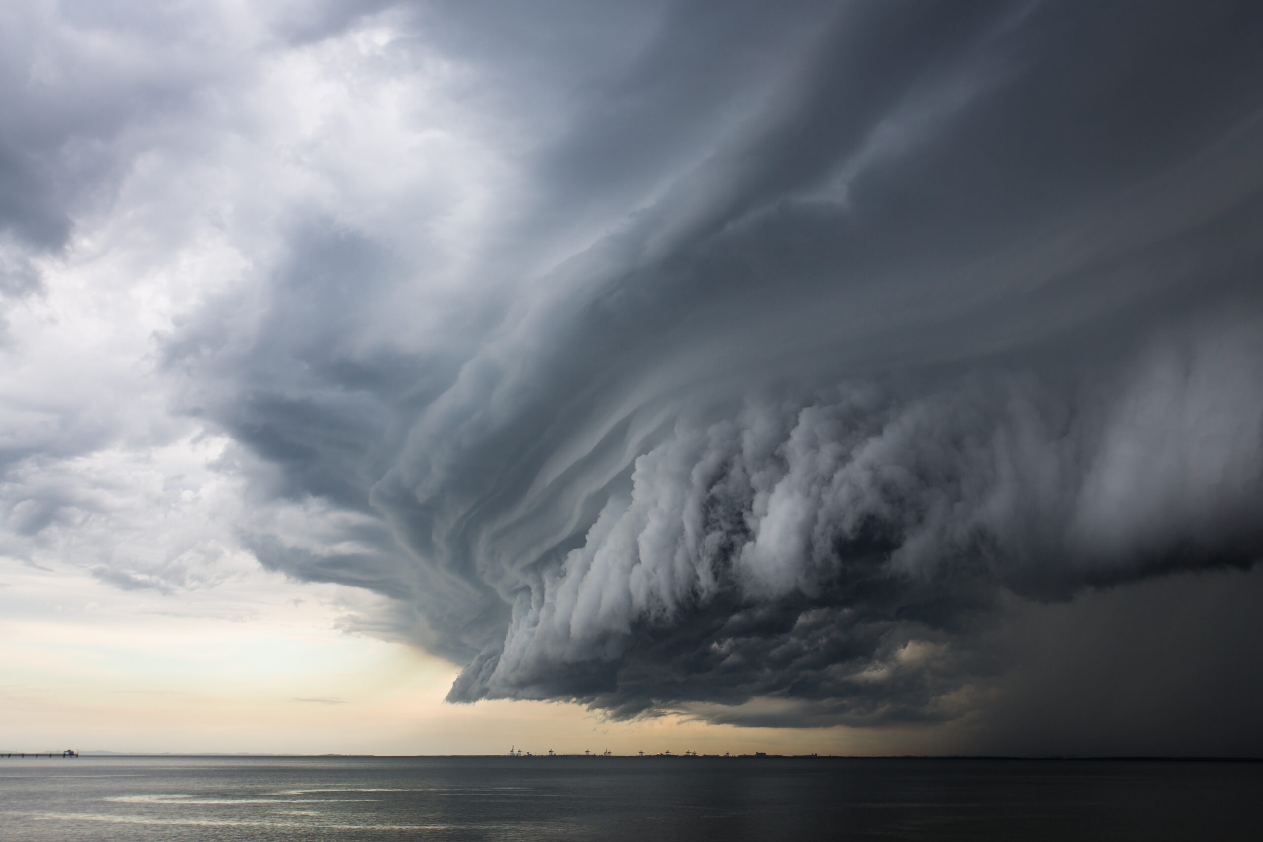
Heavy rainfall and thunderstorms continue to impact NSW coast

NSW Emergency Services Minister Steph Cooke said this is the start of a “very long season” as flood-exhausted communities in the north and west of NSW face renewed warnings.
“We’re facing challenges on multiple fronts with prolonged flooding through the west and northwest of NSW, renewed river rises in the Central West and southern parts of NSW,” she said.

“Now communities in the Northern Rivers, Mid North Coast and North Coast who have been made flood weary over the past several months are facing an uncertain couple of days with weather conditions worsening.”
Cooke said rivers are rising very quickly and floodwaters are catching residents unawares.
She added forecasts are variable and changing and urged residents in the north and west of NSW to prepare anyway for the risk of flood waters
Issued: 3pm AEST Thursday 22 September 2022
Heavy rainfall and thunderstorms will continue on Thursday night and into Friday along the New South Wales coast including Northern Rivers, Mid North Coast and Hunter regions.
A minor to moderate flood warning has been issued for Wilsons River in Lismore. Depending on the location and intensity of the rainfall, peaks above moderate could be possible from Friday and into the weekend.
A severe weather warning for heavy rainfall is current for the Northern Rivers and parts of the Mid North Coast with 24-hourly totals of 80 to 120 mm expected, and isolated falls of 200 mm possible.
The situation is evolving and the Bureau is monitoring the rainfall closely. The Bureau will continue to update its forecasts and warnings regularly.
Communities in affected regions should stay up to date with the latest forecasts and warnings via the Bureau’s website and BOM Weather app and follow the advice of emergency services.
FOOTAGE: O’Brien’s Lane very much closed in Tamworth, as the SES predicts moderate flooding along the Peel River. This leaves just one road in and out of Calala.


